
We take GPS for granted every day. Whether you’re trying to find the nearest coffee shop or navigating a cross-country road trip, those handy satellites in Earth’s orbit have your back. But what happens when you send a spacecraft way beyond Earth, where GPS signals are weak, spotty, or completely non-existent?
NASA has been working hard to solve this deep-space navigation headache, and they just pulled off a major breakthrough using a swarm of small satellites.
Enter Mission Starling and FALCON
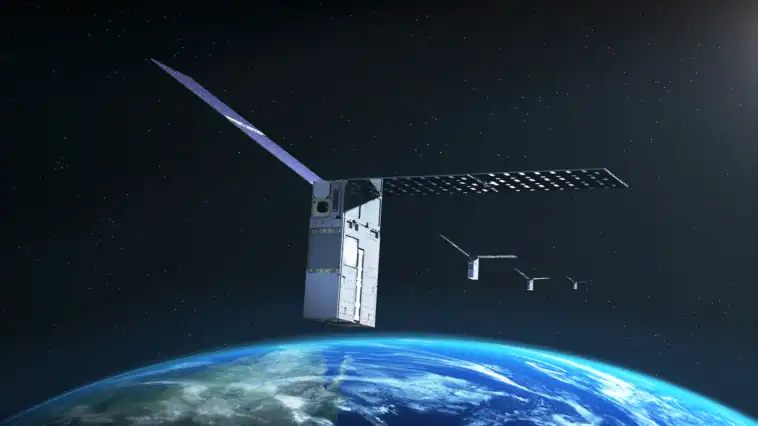
Launched back in 2023, NASA’s Starling mission features a four-spacecraft swarm designed to test autonomous satellite technologies. Recently, as part of an extended mission, NASA teamed up with EraDrive to test a brand-new flight experiment called FALCON. EraDrive is a startup spun out of Stanford University.
FALCON, short for Fast Autonomous Lost-in-space Catalog-based Optical Navigation, is a software payload that combines EraDrive’s Era-Core software with Starling’s onboard cameras and a massive database of space objects.
The main goal of this collaboration is to figure out how to navigate space entirely on its own without relying on GPS networks or ground-based control teams back on Earth.
So, how does a satellite navigate without GPS? By using its onboard star-tracker cameras to look at its neighbors!
FALCON tested two brilliant complementary capabilities:
- Self-orbit determination: Starling’s star-tracker cameras take photos of nearby objects floating in space, including other spacecraft and orbital debris. FALCON then checks these observed objects against a huge number of entries in an onboard catalog of known space objects maintained by the U.S. Department of War. By analyzing where it was relative to those known objects, Starling was able to calculate its exact orbit completely on its own.
- Updating space catalogs on the fly: In a separate set of tests, NASA loaded an entire catalog of around 20,000 known space objects and their predicted orbits directly onto the spacecraft. As Starling spotted other space objects, FALCON matched its real-time camera views with the catalog to refine location predictions. Over just three days, FALCON successfully updated and improved the known orbits of over 200 objects, all without a single human operator intervening from the ground!
This self-orbit determination marks a historic first for spacecraft using optical cameras to navigate based on their position relative to other space objects.
Why this matters for the future of space exploration
This isn’t just a cool party trick for tiny satellites. As humanity prepares for long-term exploration beyond Earth’s orbit, GPS-free navigation is going to be important.
When we build satellite swarms around the Moon or Mars, astronaut crews and robotic landers won’t have the luxury of Earth’s GPS infrastructure. Autonomous navigation allows spacecraft swarms to track each other, coordinate precision scientific measurements, and avoid space traffic or collisions automatically.
Even cooler, FALCON highlights how university research can quickly transform into real-world commercial tech. What started as a Stanford tech partnership evolved into EraDrive’s commercial software.
Later this year, NASA plans to extend the experiment even further, allowing all four satellites in the Starling swarm to share tracking data with each other and refine their positions as a team. The future of deep space travel is officially getting a lot smarter.
Sources: Interesting Engineering, NASA